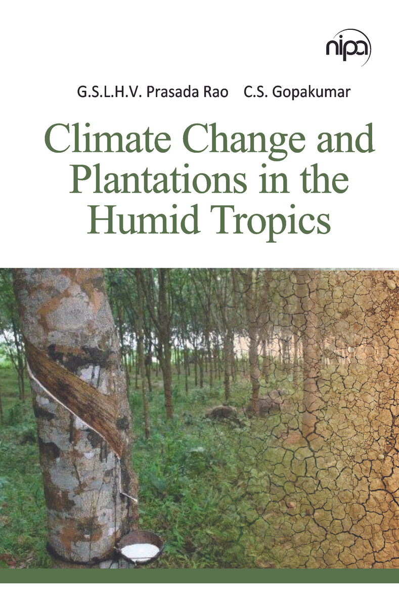
The authors, as geologists, have been privileged to work in the field of Geomatics technology, which encompasses Remote Sensing, GIS, GPS, and other related technologies. With a clear objective of elucidating the Quaternary geological history of different regions of the Indian Peninsula, the senior author has been engaged in this pursuit for the past four decades, while the co-authors have been contributing to this effort for the past one and a half decades. As geomorphology, a major branch of geology, not only deals with the external landscape architecture of the planet Earth but also holds records of the Quaternary tectonics, riverine, coastal, aeolian, glacial, volcanic, and other geomorphic processes that occurred during this period. Motivated by this, the authors undertook studies on riverine life histories, shoreline changes, and offshore land building phenomena, as well as recent earth movements that can be gleaned from geomorphic anomalies, Holocene tectonics, and their influence on Quaternary deltas, among other topics. Additionally, the authors have delved deeply into geomorphology, with a particular focus on mapping and mitigating natural disasters such as seismotectonics, landslides, and the response of coastal geomorphology to tsunami surges and floods, among other phenomena. In this way, the authors have endeavored to unveil the geological history of the Quaternary period, while also contributing to the broader field of geomorphology.
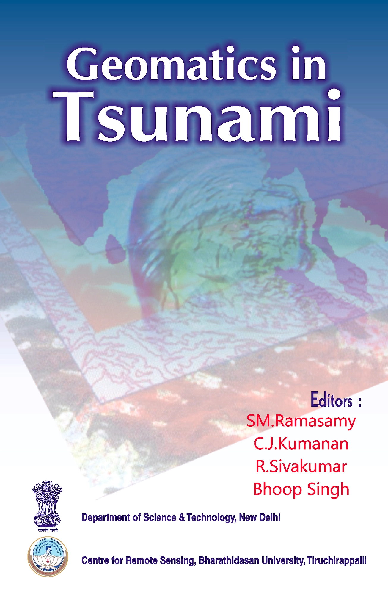
Content
Fluvial Systems 1. Radiocarbon Dating of some Palaeo Drainages and their Significance in Tamil Nadu, India by SM. Ramasamy, J. Saravanavel, M.G. Yadava and R. Ramesh 2. Remote Sensing Revealed Anomalies in the Flood Plains of Asian Rivers and their Significance by M. Muthukumar and SM. Ramasamy 3. Geomatics Derived Geomorphic Features and their Significance, Kollai hill, Tamil Nadu, India by C.J.Kumanan, SM. Ramasamy and S. Gunasekaran Coastal Systems 4. Challenges of The Indian Coasts: Geomatics Solutions by SM. Ramasamy 5. GIS Based Animation of Changing Terrain Features in Rameswaram Island, Tamil Nadu, During the Last Century by SM. Ramasamy 6. Facts and Myths about Adam Bridge by SM. Ramasamy 7. Katchatheevu: Geologically Connected to Indian Landmass by SM. Ramasamy Quaternary Tectonics 8. Whirling (Buckling) and Fracturing of Indian Plate and its Consequences A Remote Sensing Appraisal by SM. Ramasamy. 9. Remote Sensing and Active Tectonics of South India by SM. Ramasamy. 10. Remote Sensing Revealed Drainage Anomalies and Related Tectonics of South India by SM. Ramasamy, C.J. Kumanan, R. Selvakumar and J. Saravanavel 11. Visualization of 8000 Years of Geological History in South India by I.D.Bishop, SM. Ramasamy, P. Stephens and E.B. Joyce 12. Holocene Tectonics Revealed by Tamil Nadu Deltas, India by SM. Ramasamy 13. Late Holocene Geomorphic Evolution of Cauvery Delta, Tamil Nadu, India by SM. Ramasamy, J. Saravanavel and R. Selvakumar 14. Certain Drainage Anomalies and the Recent Earth Movements, Pudukkottai Region, Tamil Nadu, India by S. Gunasekaran and SM. Ramasamy Geohazards 15. Time Transgressive and Seismotectonic Signatures of NNE-SSW Fault Along Tamil Nadu Coast, India by SM. Ramasamy and J. Saravanavel 16. Lineaments and the Neo-Tectonic Architecture of Western Ghats, Tamil Nadu by C.J. Kumanan and SM. Ramasamy 17. Morphotectonics of Ganjam Coast, Odisha, India. by K. Palanivel, SM. Ramasamy, R. Kathiravan, N. Jeyachandran and C.J. Kumanan 18. Geoinformatic Modeling of Geomorphology in Seismic Vulnerability Mapping, Parts of Western Ghats, South India. by C.J. Kumanan, SM. Ramasamy and J. Saravanavel
Description provided by nipa genx electronic resources & solutions.