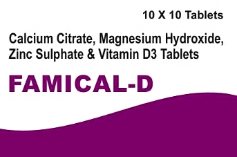
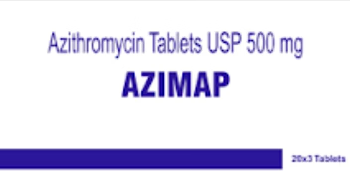
AZIMAP is an advanced geospatial software platform designed specifically for businesses requiring accurate mapping, location intelligence, and spatial analytics. This product enables enterprises to visualize, analyze, and interpret data related to geographic locations with high precision. Featuring intuitive tools for map creation, route optimization, and real-time tracking, AZIMAP supports decision-making across various sectors including logistics, urban planning, and field services. Its integration capabilities with enterprise systems and support for multiple data formats make it a versatile solution for companies aiming to leverage geographic data to enhance operational efficiency and strategic planning.
Key Features
| Features | Description |
|---|---|
| Advanced Mapping Tools | Enables creation of detailed, customizable maps for diverse industry needs. |
| Real-Time Location Tracking | Provides live tracking to monitor assets, fleets, and personnel accurately. |
| Spatial Analytics | Offers analysis of geographic data to identify patterns and optimize routes. |
| Multi-Format Data Support | Supports integration of various geospatial data formats including GIS shapefiles, KML, and GeoJSON. |
| Enterprise System Integration | Seamlessly connects with CRM, ERP, and supply chain management tools via APIs. |
| User-Friendly Interface | Designed for ease of use with customizable dashboards and visualization tools. |
| Scalable Architecture | Suitable for small to large enterprises with scalable cloud-based deployment options. |
| Secure Data Handling | Incorporates data encryption and role-based access control to ensure data privacy. |
| Attributes | Description |
|---|---|
| Supported Platforms | Web-based, Windows, and Mobile (iOS and Android) |
| Data Format Compatibility | GIS shapefiles, KML, GeoJSON, CSV, and more |
| API Availability | RESTful APIs for integration with third-party systems |
| Deployment Options | Cloud-based SaaS and on-premises installations |
| User Capacity | Supports multi-user access with configurable permission levels |
| Data Security Standards | Compliant with ISO/IEC 27001 for information security management |
| Customizable Reporting | Generate reports with customizable templates and export options |
| Languages Supported | English, with options for localization upon request |
*Disclaimer: The above description has been AI-generated and has not been audited or verified for accuracy. It is recommended to verify product details independently before making any purchasing decisions.
Yes, AZIMAP offers RESTful APIs allowing seamless integration with popular ERP, CRM, and supply chain management systems to streamline your business processes.
AZIMAP supports multiple data formats including GIS shapefiles, KML, GeoJSON, CSV, and other common geospatial data formats, enabling flexibility in data usage.
AZIMAP provides real-time location tracking with high precision, suitable for asset management and fleet monitoring, leveraging GPS and other location data sources.
Absolutely, AZIMAP supports both cloud-based SaaS deployment and on-premises installations to cater to organizations with strict security and data privacy policies.
Yes, AZIMAP features configurable user permissions and role-based access control, allowing secure multi-user collaboration while protecting sensitive data.